
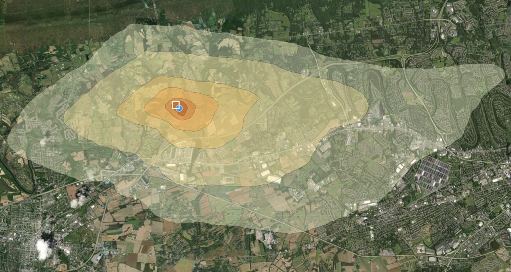
How Air Pollution Spreads from Large Data Center Construction Sites Across Cumberland County
The Environmental Health Board produced air pollution dispersal maps for the Clean Air Board of Central PA. These HYSPLIT maps show how air pollution is projected to move beyond the PAX-1 site. EHP uses NOAA satellite data and the maps are considered very reliable re: long term air pollution trends. As expected, the residences adjacent to the site are most affected but the air pollution plume travels beyond Middlesex township.
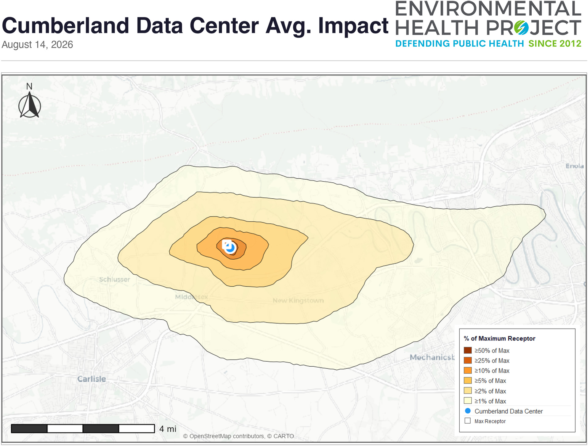
PAX-1 Site Terrain View
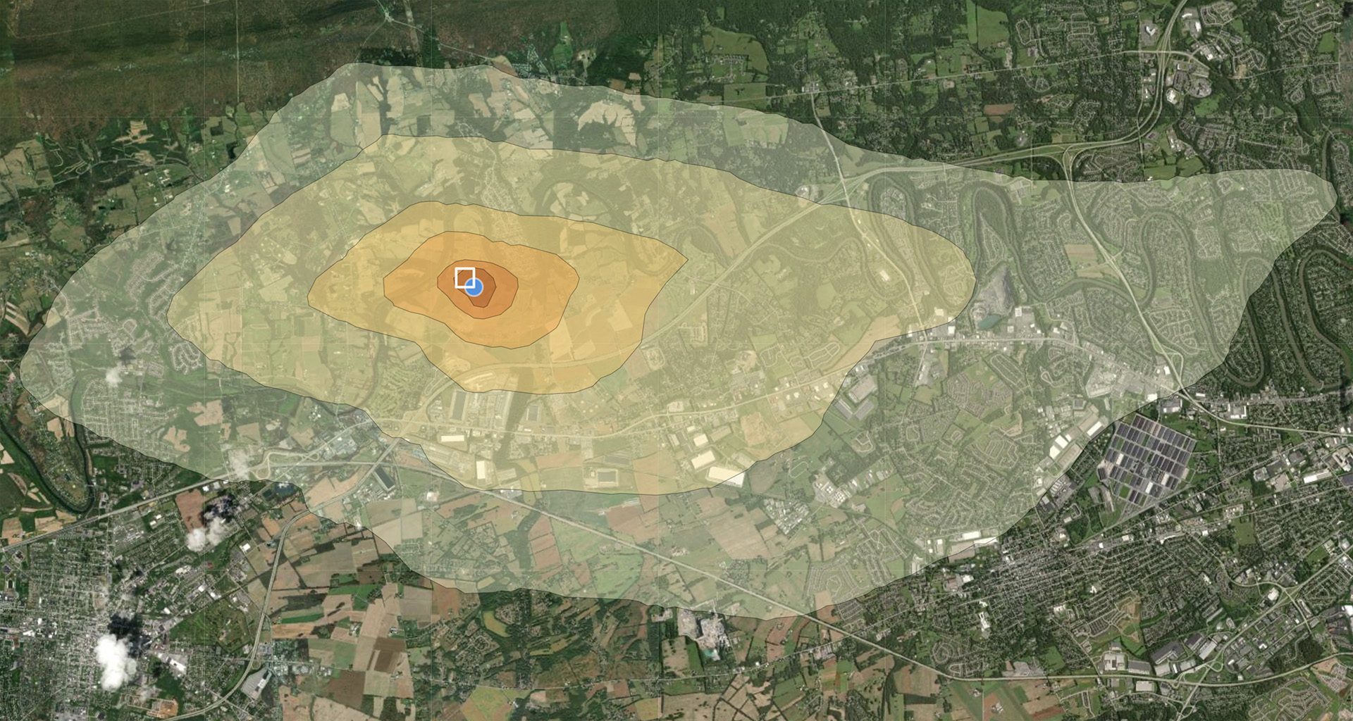
PAX-1 Site Satellite View
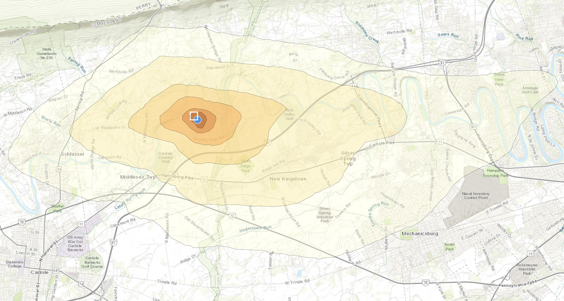
You can generate your own maps here:
https://www.environmentalhealthproject.org/hysplit-models


Leave a Reply
Want to join the discussion?Feel free to contribute!